
Make a donation
Gear up for your next adventure:
As an Amazon Associate, this site earns from qualifying purchases at no extra cost to you.
Baton Rouge topographic map
Click on the map to display elevation.
Make a donation
Gear up for your next adventure:
As an Amazon Associate, this site earns from qualifying purchases at no extra cost to you.
About this map
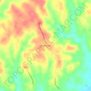
Name: Baton Rouge topographic map, elevation, terrain.
Location: Baton Rouge, Chester County, South Carolina, United States (34.67708 -81.36398 34.71708 -81.32398)
Average elevation: 158 m
Minimum elevation: 118 m
Maximum elevation: 192 m
Make a donation
Gear up for your next adventure:
As an Amazon Associate, this site earns from qualifying purchases at no extra cost to you.
Other topographic maps
Click on a map to view its topography, its elevation and its terrain.
South Carolina Noname 12005 D-0209 Dam
United States > South Carolina > Chester County > Mountain Lakes
Average elevation: 149 m
Make a donation
Gear up for your next adventure:
As an Amazon Associate, this site earns from qualifying purchases at no extra cost to you.