
Irani topographic map
Interactive map
Click on the map to display elevation.
About this map
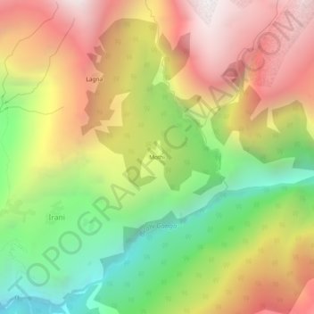
Name: Irani topographic map, elevation, terrain.
Location: Mothi, Irani, Chamoli, Uttarakhand, Inde (30.36238 79.57058 30.40238 79.61058)
Average elevation: 2,838 m
Minimum elevation: 1,824 m
Maximum elevation: 3,864 m