
RT 11 topographic map
Interactive map
Click on the map to display elevation.
About this map
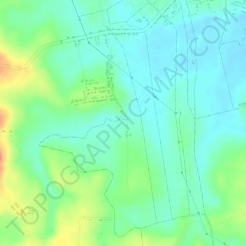
Name: RT 11 topographic map, elevation, terrain.
Location: RT 11, sumberejo, Lampung Timur, Lampung, Indonésie (-5.21378 105.67421 -5.18879 105.68722)
Average elevation: 26 m
Minimum elevation: 7 m
Maximum elevation: 63 m