Geolocate

Ormekeke topographic map

Click on the map to display elevation.

About this map

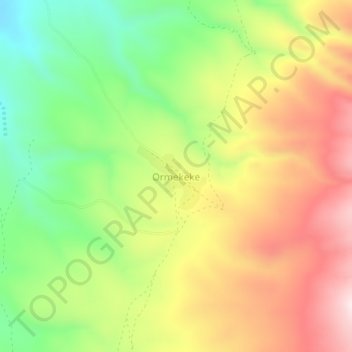
Name: Ormekeke topographic map, elevation, terrain.

Location: Ormekeke, Ngorongoro, Arusha, Northern Zone, Tanzania (-3.18111 35.27156 -3.14111 35.31156)

Average elevation: 2,016 m

Minimum elevation: 1,765 m

Maximum elevation: 2,287 m

Other topographic maps

Click on a map to view its topography, its elevation and its terrain.

Meru

Tanzania > Arusha

Average elevation: 1,342 m

Ngorongoro Crater

Tanzania > Arusha

Average elevation: 1,963 m

Gear up for your next adventure:

🧦Hiking Liner Socks - Thin base layer to prevent friction and blisters
🧥Thermal Layer - Insulating layer for cold outdoor conditions
🥾Trail Hiking Socks - Comfortable socks to prevent blisters and fatigue
🧦Merino Wool Socks - Moisture-wicking comfort for long-distance hiking
💧Filtered Water Bottle - Safe drinking water on the go

As an Amazon Associate, this site earns from qualifying purchases at no extra cost to you.