
Walnut Grove topographic map
Click on the map to display elevation.
Walnut Grove
Walnut Grove's location has made it the site of a rare collection of very tall radio and television transmission towers. The first major tower here was the KXTV/KOVR/KCRA Tower built in 1962, which dominated the skyline for over twenty years with its 1,548 foot height. In 1985 the old tower was joined by taller structures. The guyed KXTV/KOVR Tower is, with a height of 2,048 feet, one of the tallest constructions in the world. Two other guyed towers of similar height are the 1,996 foot high Channel 40 Tower, KTXL, and the 2,000 foot high Hearst-Argyle Tower. Towers sited here at the natural corner of the California Central Valley have line of sight coverage of flat valley floor for over 60 miles(100 kilometers) to the north and to the south-southeast, and quite good coverage into the Sierra foothills and mountains across the valley to the northeast and east. However, these towers and their guy-wires are a significant hazard to aircraft, which can otherwise freely cross most of the Central Valley at 656 feet of altitude.
About this map
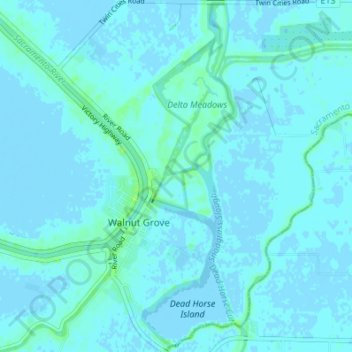
Name: Walnut Grove topographic map, elevation, terrain.
Average elevation: 1 m
Minimum elevation: -3 m
Maximum elevation: 9 m