Geolocate

Gunung Api topographic map

Click on the map to display elevation.

About this map

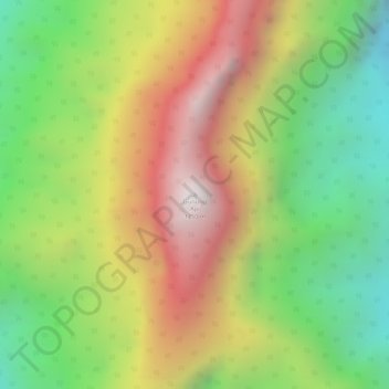
Name: Gunung Api topographic map, elevation, terrain.

Location: Gunung Api, Marudi, Miri Division, Sarawak, Malaysia (4.10196 114.89303 4.10206 114.89313)

Average elevation: 1,098 m

Minimum elevation: 566 m

Maximum elevation: 1,656 m

Other topographic maps

Click on a map to view its topography, its elevation and its terrain.

Tutoh River

Malaysia > Sarawak > Marudi

Average elevation: 51 m

Gunung Mulu National Park

Malaysia > Sarawak > Marudi

Average elevation: 460 m

Gear up for your next adventure:

🧦Crew Hiking Socks - Comfortable socks for long-distance hikes
🧥Waterproof Pants - Keep dry during rainy hiking conditions
Camping Essentials - All-in-one gear for a comfortable camping trip
🥾Waterproof Trail Shoes - Shoes designed to handle wet terrain
🥾Durable Hiking Shoes - Long-lasting shoes for frequent hiking

As an Amazon Associate, this site earns from qualifying purchases at no extra cost to you.