Geolocate

Amethi topographic map

Click on the map to display elevation.

About this map

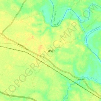
Name: Amethi topographic map, elevation, terrain.

Location: Amethi, Mohanlalganj, Lucknow, Uttar Pradesh, 227120, India (26.71606 81.11767 26.79606 81.19767)

Average elevation: 112 m

Minimum elevation: 98 m

Maximum elevation: 123 m

Gear up for your next adventure:

🥾Hiking Shoes - Durable and comfortable shoes for trail hiking
🚲Heavy Duty Bike Lock - Secure your bike at the trailhead or during stops
🔋Solar Power Bank - Keep your GPS and devices charged during long outdoor trips
🥤Collapsible Travel Cup - Saves space and weight in your mess kit
🩹Moleskin Blister Pads - Direct protection for painful foot pressure points

As an Amazon Associate, this site earns from qualifying purchases at no extra cost to you.