
Artoño topographic map
Interactive map
Click on the map to display elevation.
About this map
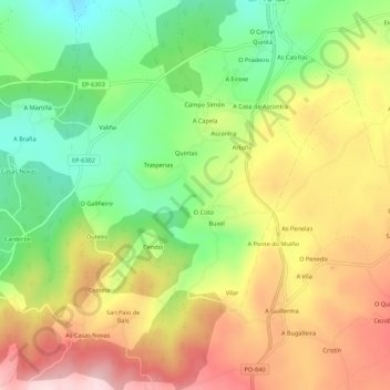
Name: Artoño topographic map, elevation, terrain.
Location: Artoño, Agolada, Deza, Pontevedra, Galicia, 36528, España (42.78933 -8.05360 42.82933 -8.01360)
Average elevation: 476 m
Minimum elevation: 332 m
Maximum elevation: 634 m