
kukrawad topographic map
Interactive map
Click on the map to display elevation.
About this map
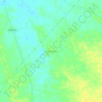
Name: kukrawad topographic map, elevation, terrain.
Location: kukrawad, Harda Tahsil, Harda, Madhya Pradesh, India (22.27896 77.09443 22.31896 77.13443)
Average elevation: 292 m
Minimum elevation: 283 m
Maximum elevation: 304 m
Other topographic maps
Click on a map to view its topography, its elevation and its terrain.
Harda
India > Madhya Pradesh > Harda Tahsil
Harda, Harda Tahsil, Harda, Madhya Pradesh, 461331, India
Average elevation: 290 m