
Neerbroek topographic map
Interactive map
Click on the map to display elevation.
About this map
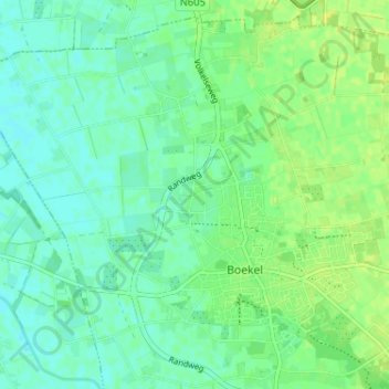
Name: Neerbroek topographic map, elevation, terrain.
Location: Neerbroek, Boekel, Noord-Brabant, Nederland, 5427 PS, Nederland (51.59062 5.64426 51.63062 5.68426)
Average elevation: 17 m
Minimum elevation: 10 m
Maximum elevation: 24 m
Other topographic maps
Click on a map to view its topography, its elevation and its terrain.