
Lekki topographic map
Interactive map
Click on the map to display elevation.
About this map
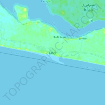
Name: Lekki topographic map, elevation, terrain.
Location: Lekki, Ibeju Lekki, Lagos State, Nigeria (6.37233 4.05474 6.45233 4.13474)
Average elevation: 2 m
Minimum elevation: -2 m
Maximum elevation: 15 m
Other topographic maps
Click on a map to view its topography, its elevation and its terrain.
Ibeju
Nigeria > Lagos State > Ibeju Lekki > Ibeju
Ibeju, Ibeju Lekki, Lagos State, Nigeria
Average elevation: 7 m