Geolocate

Fundo Mausto topographic map

Click on the map to display elevation.

About this map

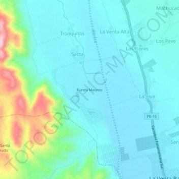
Name: Fundo Mausto topographic map, elevation, terrain.

Location: Fundo Mausto, Sacta, Santiago, Ica, Perú (-14.28729 -75.71815 -14.24729 -75.67815)

Average elevation: 387 m

Minimum elevation: 338 m

Maximum elevation: 593 m

Gear up for your next adventure:

💧Hydration Bladder - Hands-free hydration solution for long treks
🧊Portable Cooler - Keep food and drinks cold during outdoor adventures
🥾Light Trekking Boots - Supportive boots for multi-day treks
🥾All-Terrain Hiking Boots - Versatile boots for varied hiking conditions
🥾Mountaineering Boots - Supportive boots for climbing and high-altitude hiking

As an Amazon Associate, this site earns from qualifying purchases at no extra cost to you.