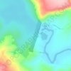
Maniratuba topographic map
Click on the map to display elevation.
About this map

Name: Maniratuba topographic map, elevation, terrain.
Location: Maniratuba, Luziânia, Goiás, Região Centro-Oeste, Brasil (-16.83643 -48.04901 -16.79643 -48.00901)
Average elevation: 906 m
Minimum elevation: 808 m
Maximum elevation: 962 m
Other topographic maps
Click on a map to view its topography, its elevation and its terrain.