
Thank you for supporting this site ❤️
Make a donation
Make a donation
Gear up for your next adventure:
As an Amazon Associate, this site earns from qualifying purchases at no extra cost to you.
Lanigan topographic map
Click on the map to display elevation.
Thank you for supporting this site ❤️
Make a donation
Make a donation
Gear up for your next adventure:
As an Amazon Associate, this site earns from qualifying purchases at no extra cost to you.
About this map
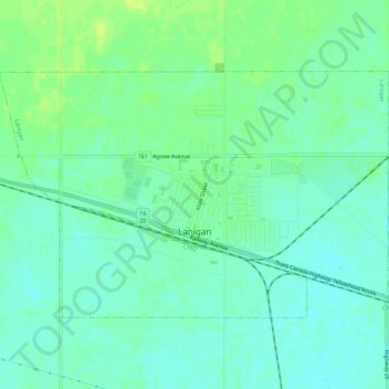
Name: Lanigan topographic map, elevation, terrain.
Location: Lanigan, Division No. 11, Saskatchewan, S0K 2M0, Canada (51.83808 -105.06125 51.85999 -105.00531)
Average elevation: 536 m
Minimum elevation: 529 m
Maximum elevation: 545 m
Division No. 11 trails, hiking, mountain biking, running and outdoor activities
Thank you for supporting this site ❤️
Make a donation
Make a donation
Gear up for your next adventure:
As an Amazon Associate, this site earns from qualifying purchases at no extra cost to you.