
Kalait topographic map
Interactive map
Click on the map to display elevation.
About this map
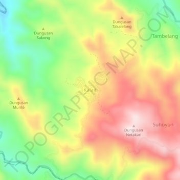
Name: Kalait topographic map, elevation, terrain.
Location: Kalait, Minahasa Tenggara, Sulawesi du Nord, Indonésie (1.00690 124.56510 1.04690 124.60510)
Average elevation: 387 m
Minimum elevation: 146 m
Maximum elevation: 622 m