Geolocate

Västerbotorp topographic map

Click on the map to display elevation.

About this map

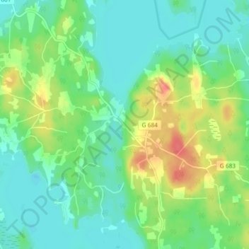
Name: Västerbotorp topographic map, elevation, terrain.

Location: Västerbotorp, Tingsryds kommun, Kronoberg County, Sweden (56.56087 14.76670 56.60087 14.80670)

Average elevation: 152 m

Minimum elevation: 134 m

Maximum elevation: 189 m

Gear up for your next adventure:

🏃Hydration Running Vest - Carry water and maps close to your body for speed
🔪Outdoor Multitool - Versatile tool for repairs and food prep in the wild
🥾Hiking Gaiters - Protect legs and shoes from mud, snow, and debris
🧥Softshell Jacket - Windproof and breathable jacket for hiking
🕯️Camping Lantern - Illuminates your entire campsite with high-efficiency LEDs

As an Amazon Associate, this site earns from qualifying purchases at no extra cost to you.