
Yong waterfall topographic map
Interactive map
Click on the map to display elevation.
About this map
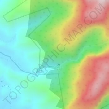
Name: Yong waterfall topographic map, elevation, terrain.
Average elevation: 263 m
Minimum elevation: 68 m
Maximum elevation: 561 m
Other topographic maps
Click on a map to view its topography, its elevation and its terrain.
Khao luang
Thailand > Nakhon Si Thammarat Province > Nakhon Si Thammarat
Khao luang, Nakhon Si Thammarat, Nakhon Si Thammarat Province, Thailand
Average elevation: 1,286 m