
BHAGANA topographic map
Interactive map
Click on the map to display elevation.
About this map
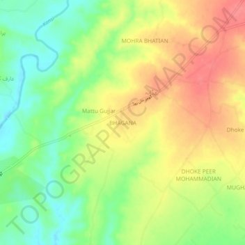
Name: BHAGANA topographic map, elevation, terrain.
Location: BHAGANA, تحصیل گوجر خان, ضلع راولپنڈی, Pendjab, Pakistan (33.26436 73.33285 33.30436 73.37285)
Average elevation: 471 m
Minimum elevation: 434 m
Maximum elevation: 506 m