Geolocate

Chuka topographic map

Click on the map to display elevation.

About this map

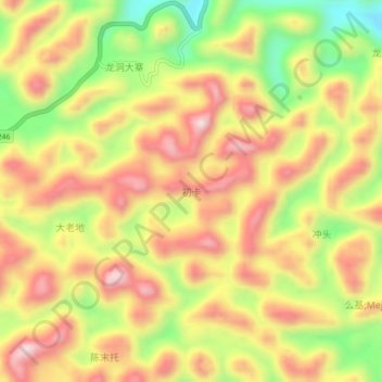
Name: Chuka topographic map, elevation, terrain.

Location: Chuka, Baise, Guangxi, China (24.64460 105.20200 24.68460 105.24200)

Average elevation: 1,528 m

Minimum elevation: 1,292 m

Maximum elevation: 1,718 m

Other topographic maps

Click on a map to view its topography, its elevation and its terrain.

Youjiang District

China > Guangxi > Baise

Average elevation: 532 m

Gear up for your next adventure:

🧥Waterproof Hiking Jacket - Protect yourself from rain and wind while hiking
🥾Hiking Boots - Sturdy boots providing ankle support and traction on rugged trails
💡LED Headlamp - Hands-free illumination for night hiking and camping
🔦UV Flashlight - Detect minerals or specific insects in the dark
🧼Travel Hand Sanitizer - Keep hands clean when water is scarce

As an Amazon Associate, this site earns from qualifying purchases at no extra cost to you.