Geolocate

Tudor ward topographic map

Click on the map to display elevation.

About this map

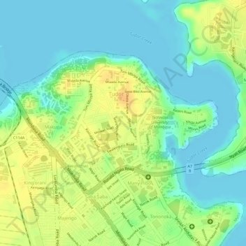
Name: Tudor ward topographic map, elevation, terrain.

Location: Tudor ward, Mvita, Mombasa County, Coast, Kenya (-4.04574 39.65239 -4.02991 39.67558)

Average elevation: 15 m

Minimum elevation: -1 m

Maximum elevation: 33 m

Gear up for your next adventure:

🏃Hydration Running Vest - Carry water and maps close to your body for speed
🥘Camping Cookware Set - Compact nesting pots and pans for trail cooking
🥾Trail Running Shoes - Lightweight and durable shoes for trail running
👟Sport Hiking Sandals - Breathable footwear for water crossings and camp rest
🚲Bike Repair Kit - Essential tools for on-trail mechanical issues

As an Amazon Associate, this site earns from qualifying purchases at no extra cost to you.