Geolocate

Bonaire topographic map

Click on the map to display elevation.

About this map

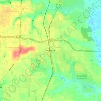
Name: Bonaire topographic map, elevation, terrain.

Location: Bonaire, Houston County, Georgia, 31005, United States (32.50384 -83.63603 32.58384 -83.55603)

Average elevation: 100 m

Minimum elevation: 65 m

Maximum elevation: 151 m

Gear up for your next adventure:

🔦UV Flashlight - Detect minerals or specific insects in the dark
🥘Camping Cookware Set - Compact nesting pots and pans for trail cooking
🧴Waterproofing Spray - Restore the DWR coating on jackets and tents
🏃Hydration Running Vest - Carry water and maps close to your body for speed
🥾Approach Shoes - Shoes designed for climbing approaches and rugged trails

As an Amazon Associate, this site earns from qualifying purchases at no extra cost to you.