
Hashtgerd topographic map
Interactive map
Click on the map to display elevation.
About this map
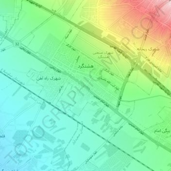
Name: Hashtgerd topographic map, elevation, terrain.
Location: Hashtgerd, بخش مرکزی ساوجبلاغ, شهرستان ساوجبلاغ, Alborz, Iran (35.92898 50.65237 35.98401 50.73328)
Average elevation: 1,285 m
Minimum elevation: 1,213 m
Maximum elevation: 1,487 m