
Make a donation
Gear up for your next adventure:
As an Amazon Associate, this site earns from qualifying purchases at no extra cost to you.
Mount Galunggung topographic map
Click on the map to display elevation.
Make a donation
Gear up for your next adventure:
As an Amazon Associate, this site earns from qualifying purchases at no extra cost to you.
Mount Galunggung
One plane, a British Airways aircraft carrying 240 passengers and traveling from Kuala Lumpur, Malaysia, to Perth, Australia, on 24 June 1982, accidentally entered the ash cloud at night, about 150 km (93 mi; 81 nmi) downwind of the volcano. All four engines failed due to the buildup of volcanic ash, and the aircraft descended for 16 minutes, losing 7,500 m (24,606 ft) of its 11,500 m (37,730 ft) altitude, until the crew managed to restart the engines and land in Jakarta.
Make a donation
Gear up for your next adventure:
As an Amazon Associate, this site earns from qualifying purchases at no extra cost to you.
About this map
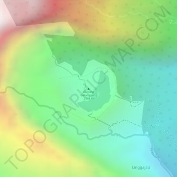
Name: Mount Galunggung topographic map, elevation, terrain.
Average elevation: 1,286 m
Minimum elevation: 780 m
Maximum elevation: 2,076 m
Make a donation
Gear up for your next adventure:
As an Amazon Associate, this site earns from qualifying purchases at no extra cost to you.