Geolocate

Mhasale topographic map

Click on the map to display elevation.

About this map

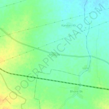
Name: Mhasale topographic map, elevation, terrain.

Location: Mhasale, Amalner, Jalgaon, Maharashtra, 425105, India (21.01007 75.18781 21.05007 75.22781)

Average elevation: 196 m

Minimum elevation: 184 m

Maximum elevation: 212 m

Gear up for your next adventure:

🧭GPS Handheld Device - Reliable GPS navigation for outdoor adventures
🛌Insulated Sleeping Pad - Critical thermal barrier between you and the cold ground
🕶️Polarized Sunglasses - Protect your eyes with durable polarized lenses
🧢Outdoor Visor - Breathable visor for sunny hikes
🧦Hiking Liner Socks - Thin base layer to prevent friction and blisters

As an Amazon Associate, this site earns from qualifying purchases at no extra cost to you.