
Thank you for supporting this site ❤️
Make a donation
Make a donation
Gear up for your next adventure:
As an Amazon Associate, this site earns from qualifying purchases at no extra cost to you.
Maboloka topographic map
Click on the map to display elevation.
Thank you for supporting this site ❤️
Make a donation
Make a donation
Gear up for your next adventure:
As an Amazon Associate, this site earns from qualifying purchases at no extra cost to you.
About this map
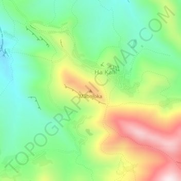
Name: Maboloka topographic map, elevation, terrain.
Location: Maboloka, Ha Kali, Qacha's Nek District, Lesotho (-30.08360 28.33929 -30.08350 28.33939)
Average elevation: 2,312 m
Minimum elevation: 2,106 m
Maximum elevation: 2,645 m
Thank you for supporting this site ❤️
Make a donation
Make a donation
Gear up for your next adventure:
As an Amazon Associate, this site earns from qualifying purchases at no extra cost to you.