
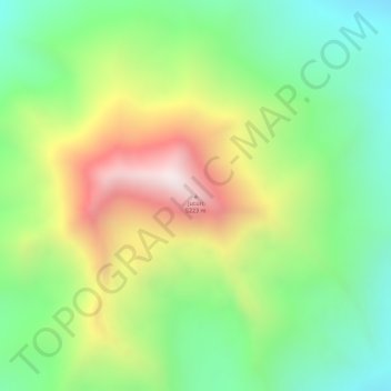
Jucuri topographic map
Interactive map
Click on the map to display elevation.
About this map
Name: Jucuri topographic map, elevation, terrain.
Location: Jucuri, Tarata, Tacna, Perú (-17.32562 -69.68858 -17.32552 -69.68848)
Average elevation: 4,799 m
Minimum elevation: 4,488 m
Maximum elevation: 5,218 m