
Al Qushlah topographic map
Click on the map to display elevation.
About this map
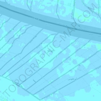
Name: Al Qushlah topographic map, elevation, terrain.
Location: Al Qushlah, Al-Faw District, Basra Governorate, Iraq (29.92222 48.52361 29.96222 48.56361)
Average elevation: 0 m
Minimum elevation: -4 m
Maximum elevation: 3 m
Other topographic maps
Click on a map to view its topography, its elevation and its terrain.