
Flore topographic map
Interactive map
Click on the map to display elevation.
About this map
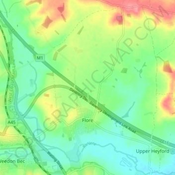
Name: Flore topographic map, elevation, terrain.
Location: Flore, West Northamptonshire, Angleterre, Royaume-Uni (52.22712 -1.08241 52.26356 -1.01354)
Average elevation: 99 m
Minimum elevation: 70 m
Maximum elevation: 150 m