Geolocate

Cassville topographic map

Click on the map to display elevation.

About this map

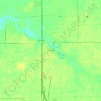
Name: Cassville topographic map, elevation, terrain.

Location: Cassville, Howard County, Indiana, United States (40.54014 -86.14271 40.58014 -86.10271)

Average elevation: 252 m

Minimum elevation: 240 m

Maximum elevation: 259 m

Gear up for your next adventure:

❄️Traction Ice Cleats - Slip-on spikes for icy trails and winter hiking
🌬️Windproof Camp Stove - Efficient cooking even on exposed mountain peaks
💡Solar Camping Lamp - Eco-friendly lighting for campsites
🥤Collapsible Travel Cup - Saves space and weight in your mess kit
👟Trail Running Shoes - Agile footwear for fast-paced topographic exploration

As an Amazon Associate, this site earns from qualifying purchases at no extra cost to you.