
Heathsville topographic map
Click on the map to display elevation.
About this map
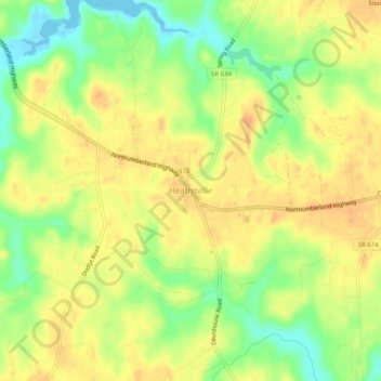
Name: Heathsville topographic map, elevation, terrain.
Location: Heathsville, Northumberland County, Virginia, United States (37.89763 -76.49217 37.93763 -76.45217)
Average elevation: 23 m
Minimum elevation: -2 m
Maximum elevation: 37 m