Geolocate

Raipur Rani topographic map

Click on the map to display elevation.

About this map

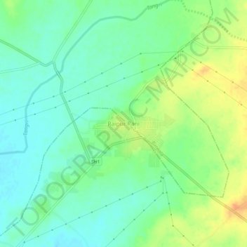
Name: Raipur Rani topographic map, elevation, terrain.

Location: Raipur Rani, Panchkula, Haryana, 134204, India (30.56555 77.00077 30.60555 77.04077)

Average elevation: 337 m

Minimum elevation: 323 m

Maximum elevation: 358 m

Gear up for your next adventure:

🧳Compression Sacks - Maximize space in your backpack by shrinking gear
🛏️Camping Sleeping Mat - Comfortable mats for sleeping outdoors
👟Trail Running Shoes - Agile footwear for fast-paced topographic exploration
🛁Quick-Dry Microfiber Towel - Space-saving towel that dries rapidly on the move
🧢Beanie Hat - Keep your head warm in cold weather

As an Amazon Associate, this site earns from qualifying purchases at no extra cost to you.