Geolocate

Chail topographic map

Click on the map to display elevation.

About this map

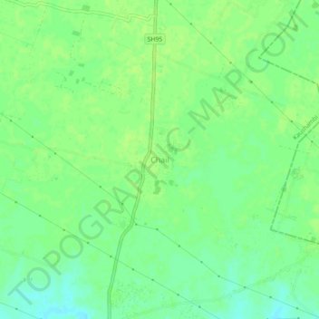
Name: Chail topographic map, elevation, terrain.

Location: Chail, Kaushambi, Uttar Pradesh, 212208, India (25.40727 81.61202 25.44727 81.65202)

Average elevation: 99 m

Minimum elevation: 91 m

Maximum elevation: 102 m

Gear up for your next adventure:

🥾Mountain Hiking Shoes - Shoes with superior grip for mountainous terrain
🥾Approach Shoes - Shoes designed for climbing approaches and rugged trails
🔭Outdoor Binoculars - Lightweight binoculars for birdwatching and hiking
🛁Quick-Dry Microfiber Towel - Space-saving towel that dries rapidly on the move
🔦LED Flashlight - Powerful and long-lasting flashlight for camping and emergencies

As an Amazon Associate, this site earns from qualifying purchases at no extra cost to you.