Geolocate

Bhalawani topographic map

Click on the map to display elevation.

About this map

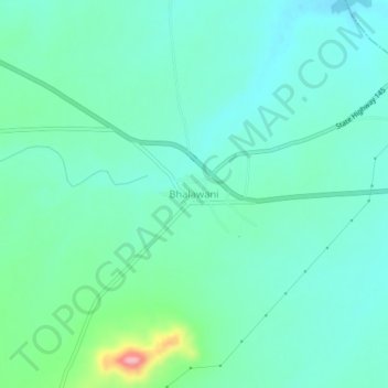
Name: Bhalawani topographic map, elevation, terrain.

Location: Bhalawani, Parner, Ahmednagar, Maharashtra, India (19.09313 74.52943 19.13313 74.56943)

Average elevation: 716 m

Minimum elevation: 687 m

Maximum elevation: 827 m

Gear up for your next adventure:

🥾Durable Hiking Shoes - Long-lasting shoes for frequent hiking
🧥Softshell Hiking Jacket - The perfect balance of wind protection and breathability
🥾Waterproof Hiking Boots - Essential footwear for rugged terrain and wet Canadian trails
🧥Insulated Jacket - Keep warm in cold outdoor conditions
🚲Bike Repair Kit - Essential tools for on-trail mechanical issues

As an Amazon Associate, this site earns from qualifying purchases at no extra cost to you.