Geolocate

Tomösteng topographic map

Click on the map to display elevation.

About this map

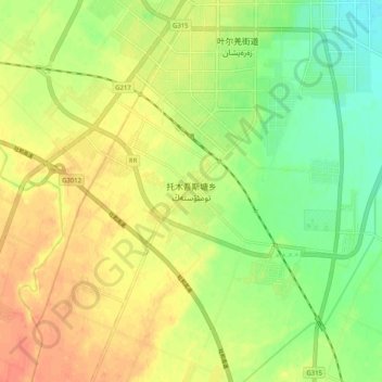
Name: Tomösteng topographic map, elevation, terrain.

Location: Tomösteng, Yarkant County, Kashgar Prefecture, Xinjiang, China (38.32258 77.18961 38.40258 77.26961)

Average elevation: 1,238 m

Minimum elevation: 1,214 m

Maximum elevation: 1,259 m

Gear up for your next adventure:

🥾Trail Hiking Shoes - Durable shoes designed for rugged trails
🥾Mountaineering Boots - Supportive boots for climbing and high-altitude hiking
🥾Trail Hiking Socks - Comfortable socks to prevent blisters and fatigue
🧢Sun Protection Cap - Breathable cap to protect from sun exposure
🚲Heavy Duty Bike Lock - Secure your bike at the trailhead or during stops

As an Amazon Associate, this site earns from qualifying purchases at no extra cost to you.