Geolocate

Fedra topographic map

Click on the map to display elevation.

About this map

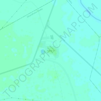
Name: Fedra topographic map, elevation, terrain.

Location: Fedra, Dhandhuka Taluka, Ahmedabad District, Gujarat, India (22.43356 72.13999 22.47356 72.17999)

Average elevation: 10 m

Minimum elevation: 7 m

Maximum elevation: 13 m

Gear up for your next adventure:

💧Hydration Pack - Hands-free hydration system for long hikes
🧶550 Survival Paracord - Versatile utility cord for emergency repairs and rigging
🧥Fleece Jacket - Warm and lightweight jacket for layering
🥾Trekking Boots - Durable boots for long-distance trekking
🧤Rechargeable Heated Gloves - Extreme warmth for Canadian winter expeditions

As an Amazon Associate, this site earns from qualifying purchases at no extra cost to you.