Geolocate

Butag topographic map

Click on the map to display elevation.

About this map

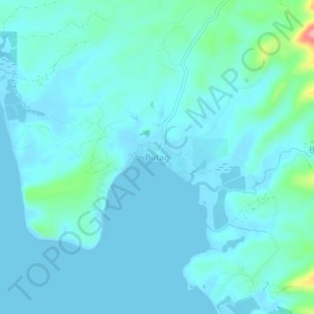
Name: Butag topographic map, elevation, terrain.

Location: Butag, Sorsogon, Bicol Region, Philippines (12.60854 123.91344 12.64854 123.95344)

Average elevation: 15 m

Minimum elevation: 0 m

Maximum elevation: 121 m

Gear up for your next adventure:

🕶️Polarized Sunglasses - Reduces glare from snow and water at high elevations
🧢Outdoor Visor - Breathable visor for sunny hikes
🚑Survival Whistle - Signal for help across long distances in mountains
👟Leg Gaiters - Keep debris, mud, and snow out of your boots
🧦Crew Hiking Socks - Comfortable socks for long-distance hikes

As an Amazon Associate, this site earns from qualifying purchases at no extra cost to you.