Geolocate

Berdo topographic map

Click on the map to display elevation.

About this map

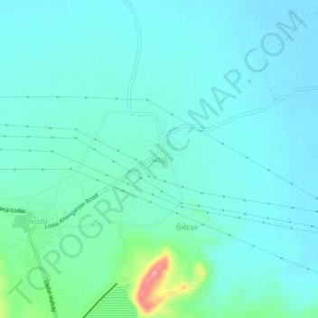
Name: Berdo topographic map, elevation, terrain.

Location: Berdo, Bhuj Taluka, Kachchh, Gujarat, 370001, India (23.38118 69.88819 23.42118 69.92819)

Average elevation: 25 m

Minimum elevation: 9 m

Maximum elevation: 107 m

Other topographic maps

Click on a map to view its topography, its elevation and its terrain.

Bhuj Taluka

India > Gujarat > Bhuj Taluka

Average elevation: 46 m

Luna crater

India > Gujarat > Bhuj Taluka

Average elevation: 4 m

Baladiya

India > Gujarat > Bhuj Taluka

Average elevation: 153 m

Gear up for your next adventure:

🕶️Polarized Sunglasses - Reduces glare from snow and water at high elevations
🦶Anti-Blister Balm - Prevents friction and hotspots during long ascents
🥾Mountain Trail Shoes - High-traction shoes for mountain trails
🥾Durable Hiking Shoes - Long-lasting shoes for frequent hiking
💧Hydration Bladder - Hands-free hydration solution for long treks

As an Amazon Associate, this site earns from qualifying purchases at no extra cost to you.