Geolocate

Fortine topographic map

Click on the map to display elevation.

About this map

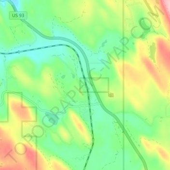
Name: Fortine topographic map, elevation, terrain.

Location: Fortine, Lincoln County, Montana, United States (48.75692 -114.93536 48.78162 -114.87128)

Average elevation: 924 m

Minimum elevation: 868 m

Maximum elevation: 1,020 m

Gear up for your next adventure:

🥾Trail Running Boots - Durable shoes designed for trail running
🥾Trekking Boots - Durable boots for long-distance trekking
🧦Thermal Socks - Warm socks for winter hiking or camping
🧢Sun Hat - Wide-brim hat for sun protection
🔦LED Headlamp - Hands-free lighting for early morning starts or late finishes

As an Amazon Associate, this site earns from qualifying purchases at no extra cost to you.