Geolocate

Winters topographic map

Click on the map to display elevation.

About this map

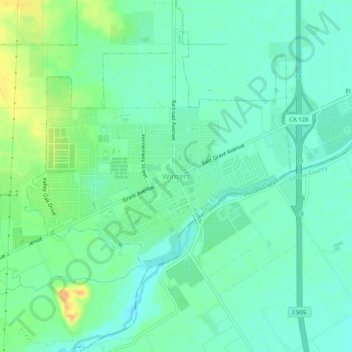
Name: Winters topographic map, elevation, terrain.

Location: Winters, Yolo County, California, 95694, United States (38.50491 -121.99080 38.54491 -121.95080)

Average elevation: 42 m

Minimum elevation: 31 m

Maximum elevation: 65 m

Gear up for your next adventure:

🔨Vehicle Emergency Tool - Safety tool for remote road trips to trailheads
🧢Outdoor Cap - Protective cap for sun and rain during hikes
🛰️Satellite Messenger - Emergency communication for areas with no cell service
🔦LED Headlamp - Hands-free lighting for early morning starts or late finishes
🥾Waterproof Hiking Boots - Essential footwear for rugged terrain and wet Canadian trails

As an Amazon Associate, this site earns from qualifying purchases at no extra cost to you.