
Spitzkunnersdorf topographic map
Click on the map to display elevation.
About this map
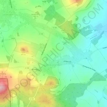
Name: Spitzkunnersdorf topographic map, elevation, terrain.
Location: Spitzkunnersdorf, Leutersdorf, Görlitz, Sachsen, Deutschland (50.92340 14.64734 50.95745 14.70718)
Average elevation: 377 m
Minimum elevation: 303 m
Maximum elevation: 521 m