Geolocate

Kanatal topographic map

Click on the map to display elevation.

About this map

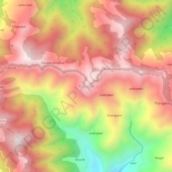
Name: Kanatal topographic map, elevation, terrain.

Location: Kanatal, Tehri, Tehri Garhwal, Uttarakhand, India (30.39533 78.30119 30.43533 78.34119)

Average elevation: 2,125 m

Minimum elevation: 1,573 m

Maximum elevation: 2,462 m

Gear up for your next adventure:

🥾Waterproof Hiking Shoes - Durable shoes for wet and rugged trails
👟Leg Gaiters - Keep debris, mud, and snow out of your boots
🧥Waterproof Jacket - Lightweight rain jackets for hiking and outdoor activities
🥾Hiking Gaiters - Protect legs and shoes from mud, snow, and debris
🧴Bear Spray Holster - Quick-access carry for essential Canadian wilderness safety

As an Amazon Associate, this site earns from qualifying purchases at no extra cost to you.