Geolocate

Kolluru topographic map

Click on the map to display elevation.

About this map

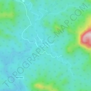
Name: Kolluru topographic map, elevation, terrain.

Location: Kolluru, Kundapura, Udupi district, Karnataka, 576220, India (13.84340 74.79380 13.88340 74.83380)

Average elevation: 127 m

Minimum elevation: 49 m

Maximum elevation: 486 m

Gear up for your next adventure:

🐕Hiking Dog Pack - Let your canine companion carry their own water and food
🥾Mountain Hiking Boots - High-traction boots for rocky terrain
🥾Trekking Poles - Adjustable trekking poles to reduce knee stress and improve stability
🧼Travel Hand Sanitizer - Keep hands clean when water is scarce
🧦Hiking Liner Socks - Thin base layer to prevent friction and blisters

As an Amazon Associate, this site earns from qualifying purchases at no extra cost to you.