উত্তর দেয়াড়া topographic map
Interactive map
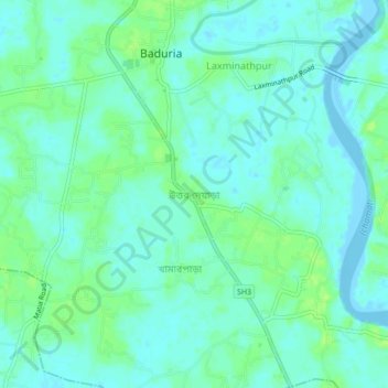
Click on the map to display elevation.
About this map
Name: উত্তর দেয়াড়া topographic map, elevation, terrain.
Average elevation: 5 m
Minimum elevation: -4 m
Maximum elevation: 12 m

Click on the map to display elevation.
Name: উত্তর দেয়াড়া topographic map, elevation, terrain.
Average elevation: 5 m
Minimum elevation: -4 m
Maximum elevation: 12 m