Geolocate

Gadha topographic map

Click on the map to display elevation.

About this map

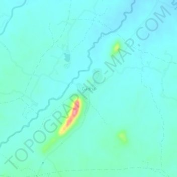
Name: Gadha topographic map, elevation, terrain.

Location: Gadha, Rajnagar Tahsil, Chhatarpur, Madhya Pradesh, India (24.81508 79.78014 24.85508 79.82014)

Average elevation: 246 m

Minimum elevation: 230 m

Maximum elevation: 345 m

Other topographic maps

Click on a map to view its topography, its elevation and its terrain.

Barethi

India > Madhya Pradesh > Rajnagar Tahsil

Average elevation: 273 m

Gear up for your next adventure:

💡Compact LED Flashlight - Powerful and portable flashlight for outdoor use
🥾Hiking Gaiters - Protect legs and shoes from mud, snow, and debris
Bushcraft Tarp - Versatile emergency shelter or gear protection
🎒Hiking Backpack - Lightweight and ergonomic backpacks for day hikes or multi-day treks
🧦Hiking Liner Socks - Thin base layer to prevent friction and blisters

As an Amazon Associate, this site earns from qualifying purchases at no extra cost to you.