
Uña topographic map
Interactive map
Click on the map to display elevation.
About this map
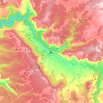
Name: Uña topographic map, elevation, terrain.
Location: Uña, Cuenca, Кастилия-Ла-Манча, Испания (40.19099 -2.04370 40.25854 -1.92008)
Average elevation: 1,325 m
Minimum elevation: 1,024 m
Maximum elevation: 1,526 m