
Saint-André topographic map
Click on the map to display elevation.
About this map
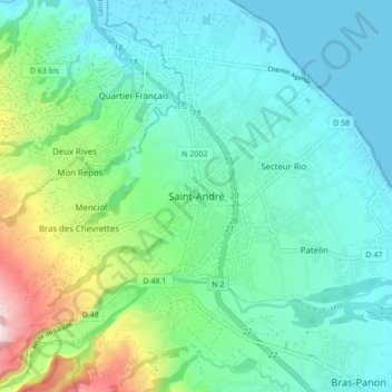
Name: Saint-André topographic map, elevation, terrain.
Location: Saint-André, Saint-Benoît, La Réunion, 97440, France (-21.00063 55.60927 -20.92063 55.68927)
Average elevation: 104 m
Minimum elevation: 0 m
Maximum elevation: 464 m