Geolocate

Pohorje topographic map

Click on the map to display elevation.

About this map

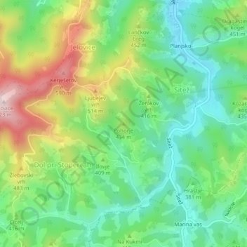
Name: Pohorje topographic map, elevation, terrain.

Location: Pohorje, Majšperk, 2289, Slovenia (46.30450 15.75880 46.30460 15.75890)

Average elevation: 384 m

Minimum elevation: 259 m

Maximum elevation: 608 m

Gear up for your next adventure:

💡Compact LED Flashlight - Powerful and portable flashlight for outdoor use
🩹Moleskin Blister Pads - Direct protection for painful foot pressure points
🛶Waterproof Dry Bags - Keep electronics and clothes dry during river crossings
🥾Light Hiking Boots - Lightweight and comfortable boots for day hikes
🥾Hiking Boots - Sturdy boots providing ankle support and traction on rugged trails

As an Amazon Associate, this site earns from qualifying purchases at no extra cost to you.