Geolocate

Cerro Pelado topographic map

Click on the map to display elevation.

About this map

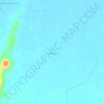
Name: Cerro Pelado topographic map, elevation, terrain.

Location: Cerro Pelado, Tierralta, Alto Sinú, Córdoba, Colombia (8.21675 -76.01527 8.21685 -76.01517)

Average elevation: 46 m

Minimum elevation: 39 m

Maximum elevation: 116 m

Other topographic maps

Click on a map to view its topography, its elevation and its terrain.

Quebrada Juí

Colombia > Córdoba > Tierralta > Virgilio Vargas

Average elevation: 58 m

Urrá

Colombia > Córdoba > Tierralta

Average elevation: 105 m

Gear up for your next adventure:

🧦Hiking Socks - Moisture-wicking and comfortable socks for long hikes
🥾Waterproof Hiking Boots - Essential footwear for rugged terrain and wet Canadian trails
🔦UV Flashlight - Detect minerals or specific insects in the dark
🛁Quick-Dry Microfiber Towel - Space-saving towel that dries rapidly on the move
🏕️Camping Hammock - Integrated protection for sleeping between trees

As an Amazon Associate, this site earns from qualifying purchases at no extra cost to you.