Geolocate

Gedi topographic map

Click on the map to display elevation.

About this map

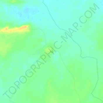
Name: Gedi topographic map, elevation, terrain.

Location: Gedi, Rapar Taluka, Kachchh, Gujarat, 370165, India (23.69194 70.71981 23.73194 70.75981)

Average elevation: 19 m

Minimum elevation: 9 m

Maximum elevation: 37 m

Other topographic maps

Click on a map to view its topography, its elevation and its terrain.

Rapar

India > Gujarat > Rapar Taluka

Average elevation: 66 m

Chitrod

India > Gujarat > Rapar Taluka

Average elevation: 110 m

Gear up for your next adventure:

🥾Waterproof Trail Shoes - Shoes designed to handle wet terrain
🥾Mountain Hiking Shoes - Shoes with superior grip for mountainous terrain
Lightweight Camping Tent - Portable shelter optimized for Canadian backcountry camping
🧴Insect Repellent - Protect yourself from bugs during outdoor adventures
🧤Thermal Hiking Gloves - Grip-enhanced gloves for cold-weather altitude trekking

As an Amazon Associate, this site earns from qualifying purchases at no extra cost to you.