
Thank you for supporting this site ❤️
Make a donation
Make a donation
Gear up for your next adventure:
As an Amazon Associate, this site earns from qualifying purchases at no extra cost to you.
Wilacota topographic map
Click on the map to display elevation.
Thank you for supporting this site ❤️
Make a donation
Make a donation
Gear up for your next adventure:
As an Amazon Associate, this site earns from qualifying purchases at no extra cost to you.
About this map
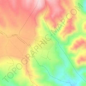
Name: Wilacota topographic map, elevation, terrain.
Location: Wilacota, Mecapaca, Pedro Domingo Murillo, La Paz, Bolivia (-16.76648 -68.06711 -16.76218 -68.06079)
Average elevation: 4,116 m
Minimum elevation: 3,951 m
Maximum elevation: 4,231 m
Thank you for supporting this site ❤️
Make a donation
Make a donation
Gear up for your next adventure:
As an Amazon Associate, this site earns from qualifying purchases at no extra cost to you.